 All Games Daily
Mapfold
Narrow down a hidden country as each clue removes part of the map.
Country deductions, maps, routes and location guessing. Some games test recognition; others ask you to reason from geographic clues.
178 games
Narrow down a hidden country as each clue removes part of the map.
Find the mystery country with warmer-or-colder guesses.
Connect two countries by naming the places in between.
Locate five cities using circles; tighter circles reward more precise answers.
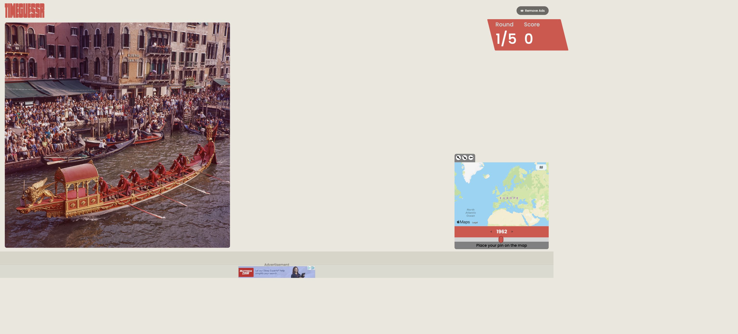
Work out where and when a historical photo was taken.
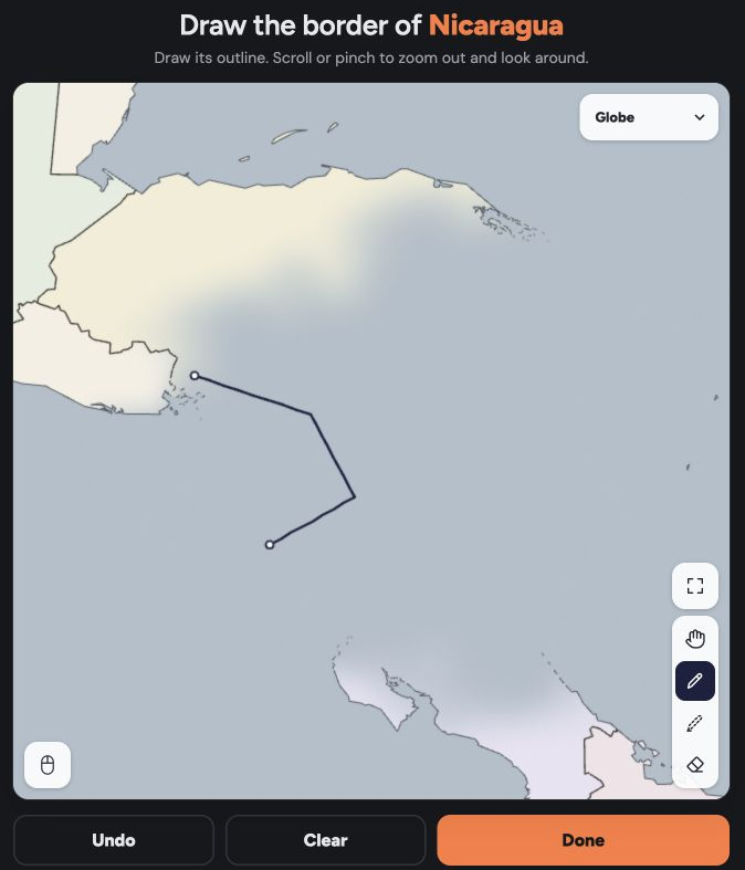
Draw the outline of a hidden country and compare it with the real border.
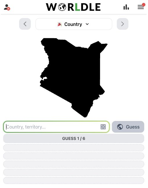
Identify a country by silhouette.
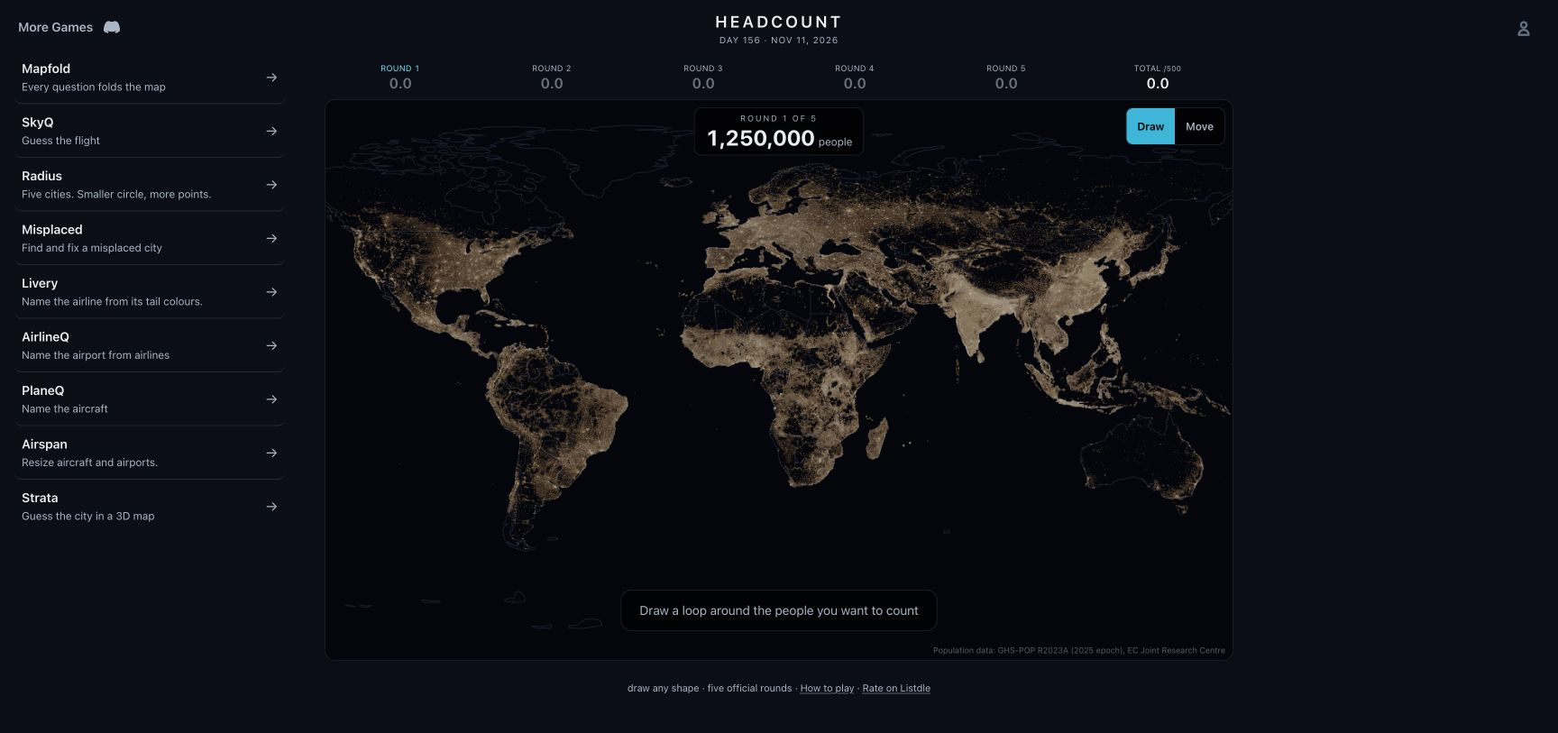
Draw areas on a population map to get as close as possible to five target totals.
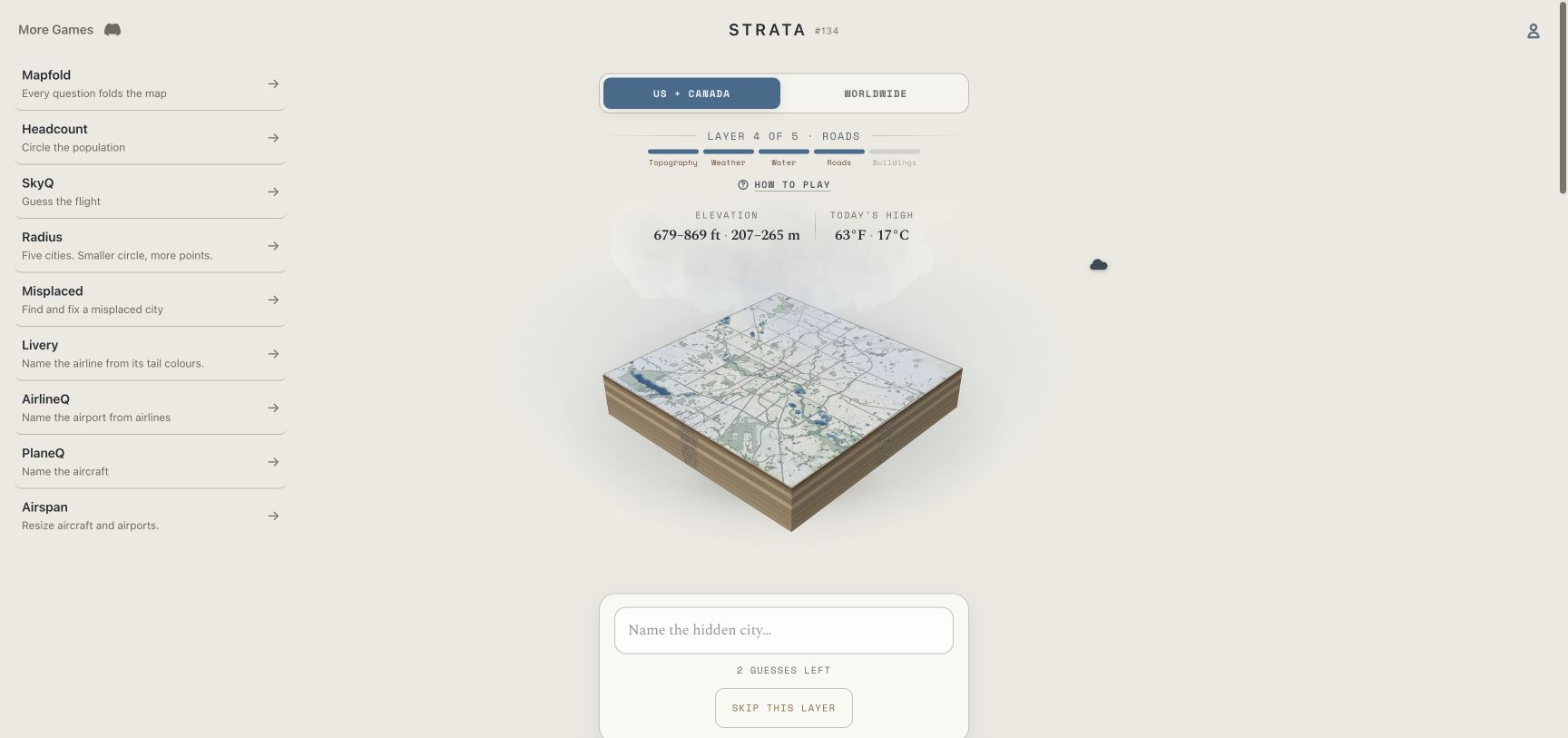
Recognize a city as terrain, water, roads and buildings appear on a three-dimensional map.

Locate an airport by placing a pin on the map.
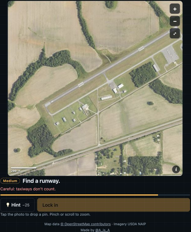
Find a named feature in aerial imagery and mark its position on the map.
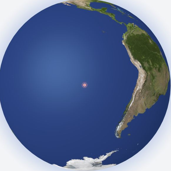
Place a marker on the globe to find a location's opposite point on Earth.
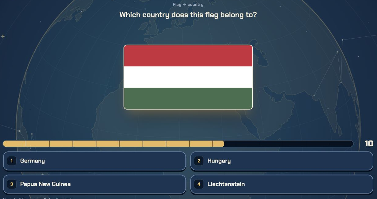
Answer 10 geography questions that mix flags, capitals, official languages and country shapes, picking 1 of 4 options each time.

Given a city's name and population, guess which country or territory it belongs to in 6 attempts.
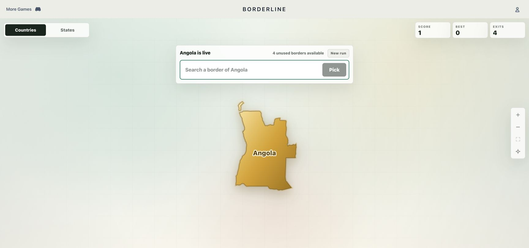
Build a chain of countries or US states that share borders without repeating places.
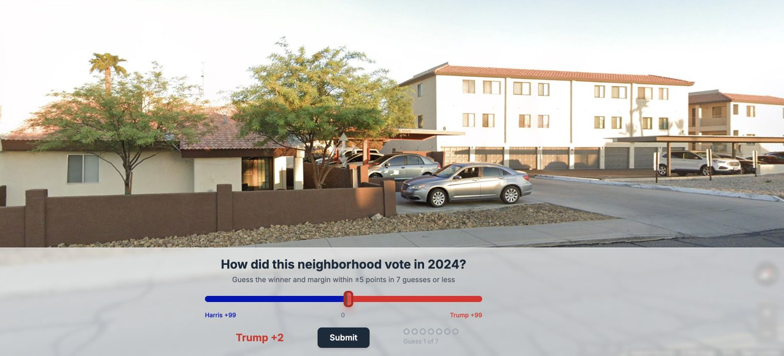
Use Street View to guess a neighborhood’s winning candidate and vote margin in the 2024 U.S. presidential election.

Use a Street View scene to guess how its county voted in the 2024 U.S. presidential election.

Identify a dish's country of origin from its photograph.
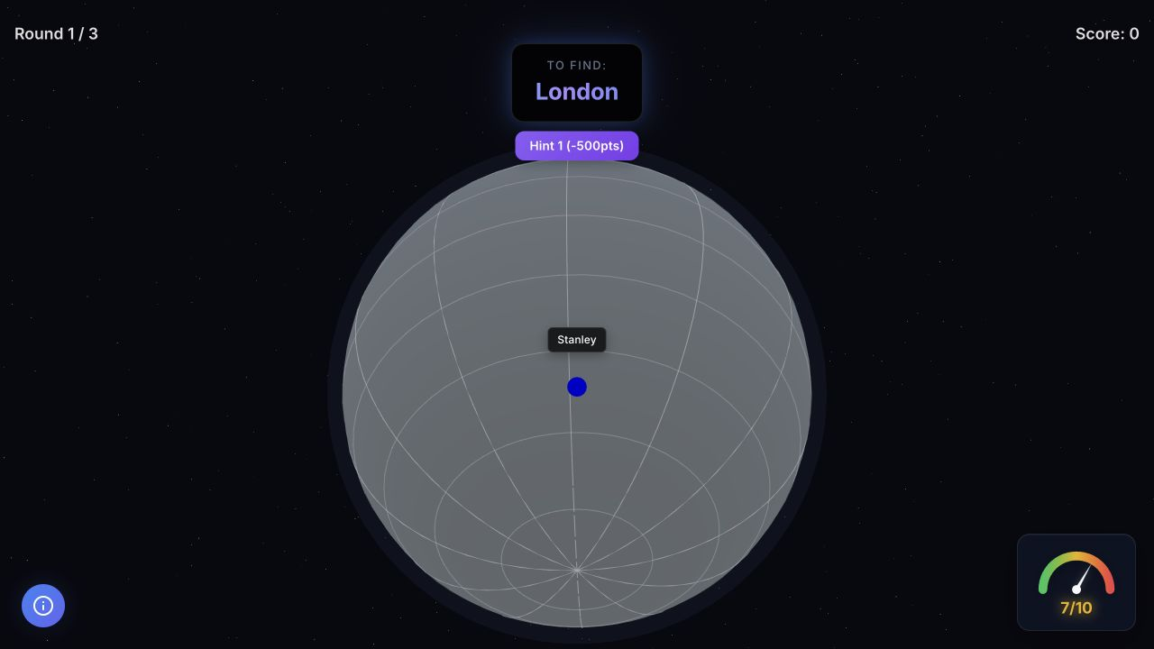
Place a target city on an unlabelled globe using another city as your reference.

Hold a button to progressively reveal a mystery country's border, with its continent given as a hint.

Name cities meeting changing category rules before each short timer runs out.
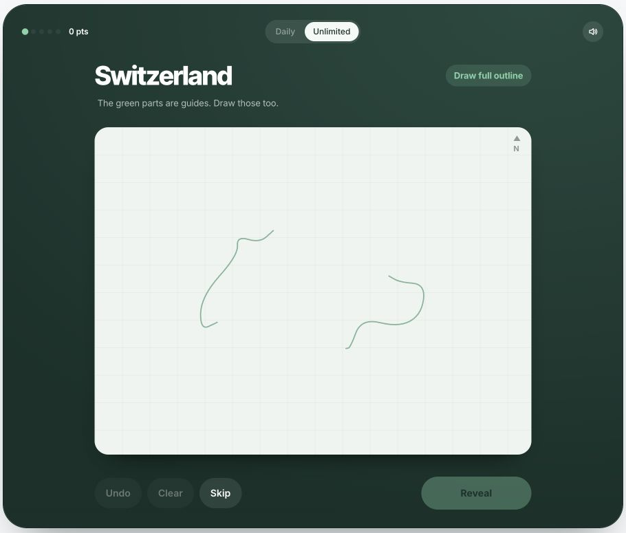
Draw a country's outline from memory on the map grid.
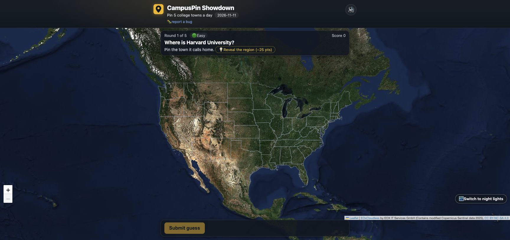
Locate the prompted university on a satellite map.
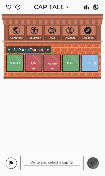
Guess the mystery capital city.
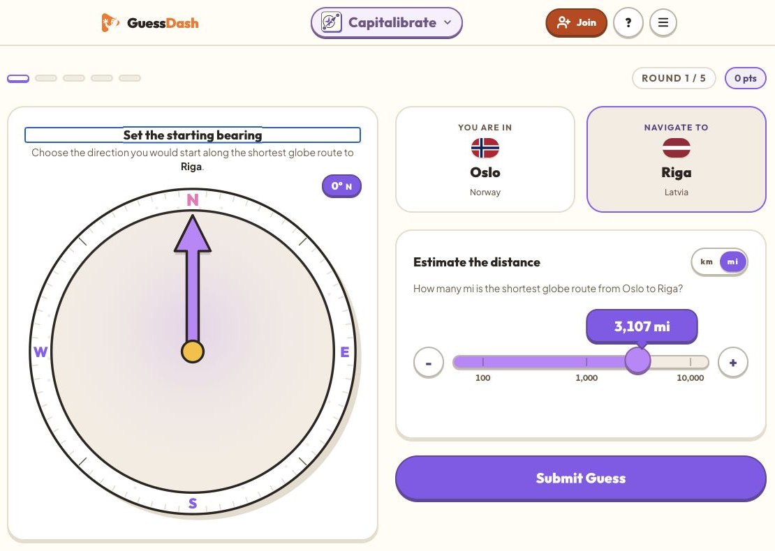
Across 5 rounds you're given two world capitals — your starting city and a target.

Guess a capital city using distance and geographic feedback.
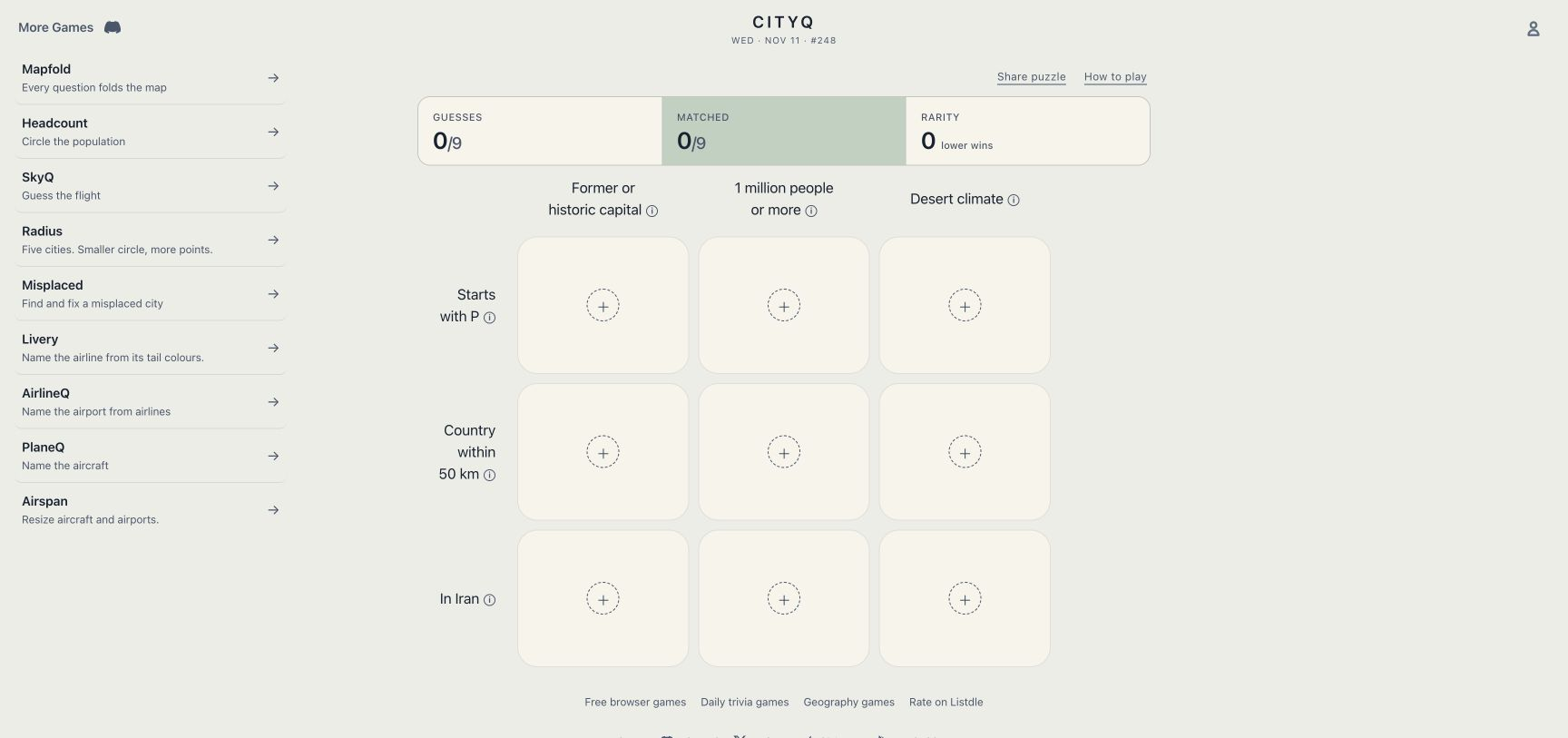
Fill a city grid with places matching the clues for each row and column.

Compare two pairs of capital cities and pick the pair that is closer together.
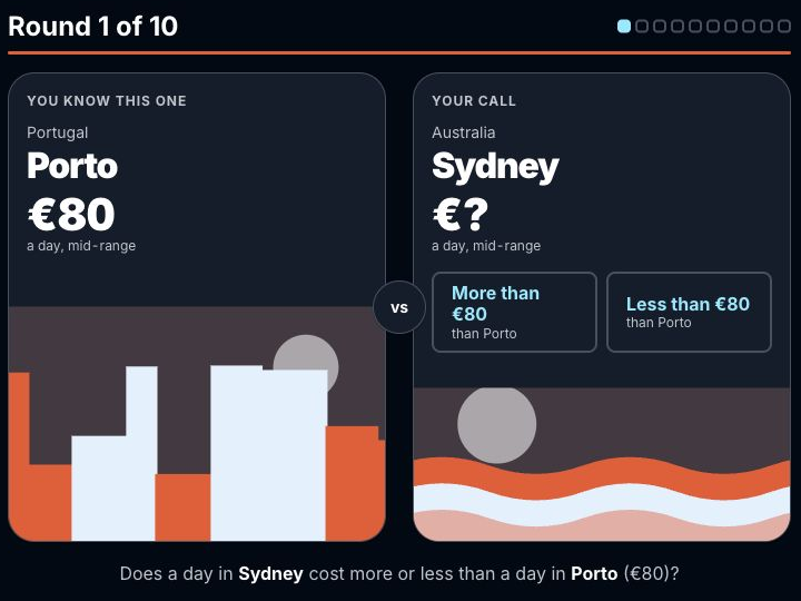
Compare the daily costs of two cities and choose which is higher or lower.

Plan a city-to-city route from a starting pin and a set of selectable stops.
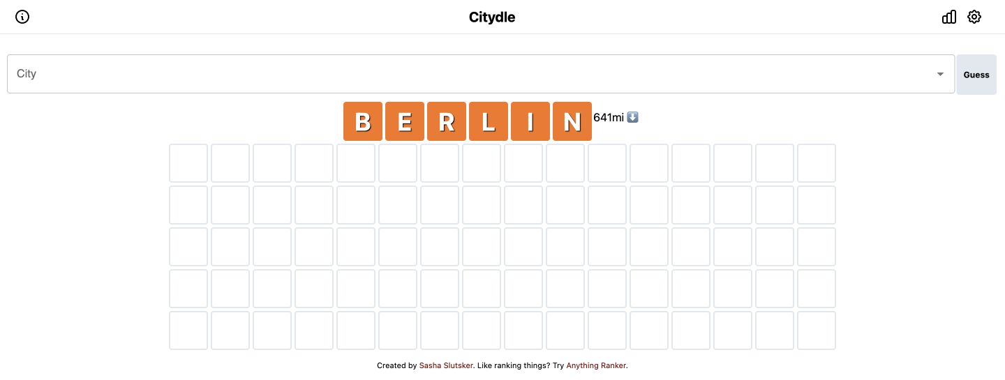
Type a city each turn and a row of tiles shows how it compares to the mystery city across geographic traits like continent, country, and population.

Navigate a 5-stop trail between world capitals: for each leg, set a compass bearing and estimate the distance from your current point to the target capital, then submit.
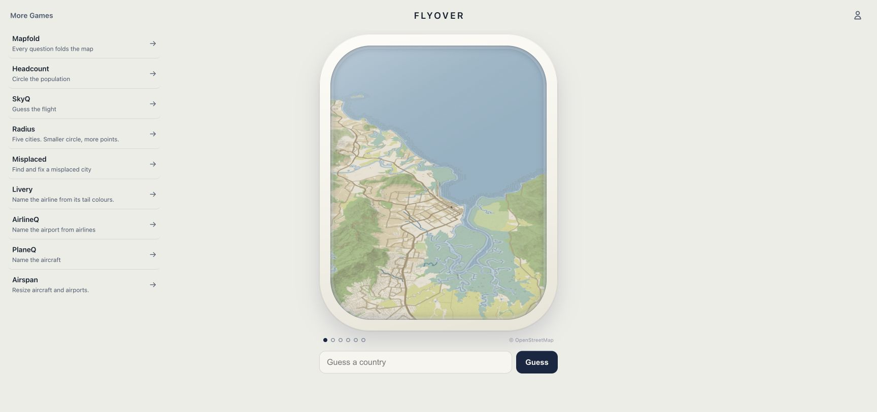
Identify a country from an aerial view that widens after each incorrect guess.

Find five places from travel clues on a world map, then identify the trip’s destination.

A country is covered on a real map, leaving its neighbours, coasts and capital marker in view.

Compare the sizes of two countries shown as silhouettes.

Fix a country's outline in 3 rounds.

Select a country on the globe that satisfies both geographic criteria.
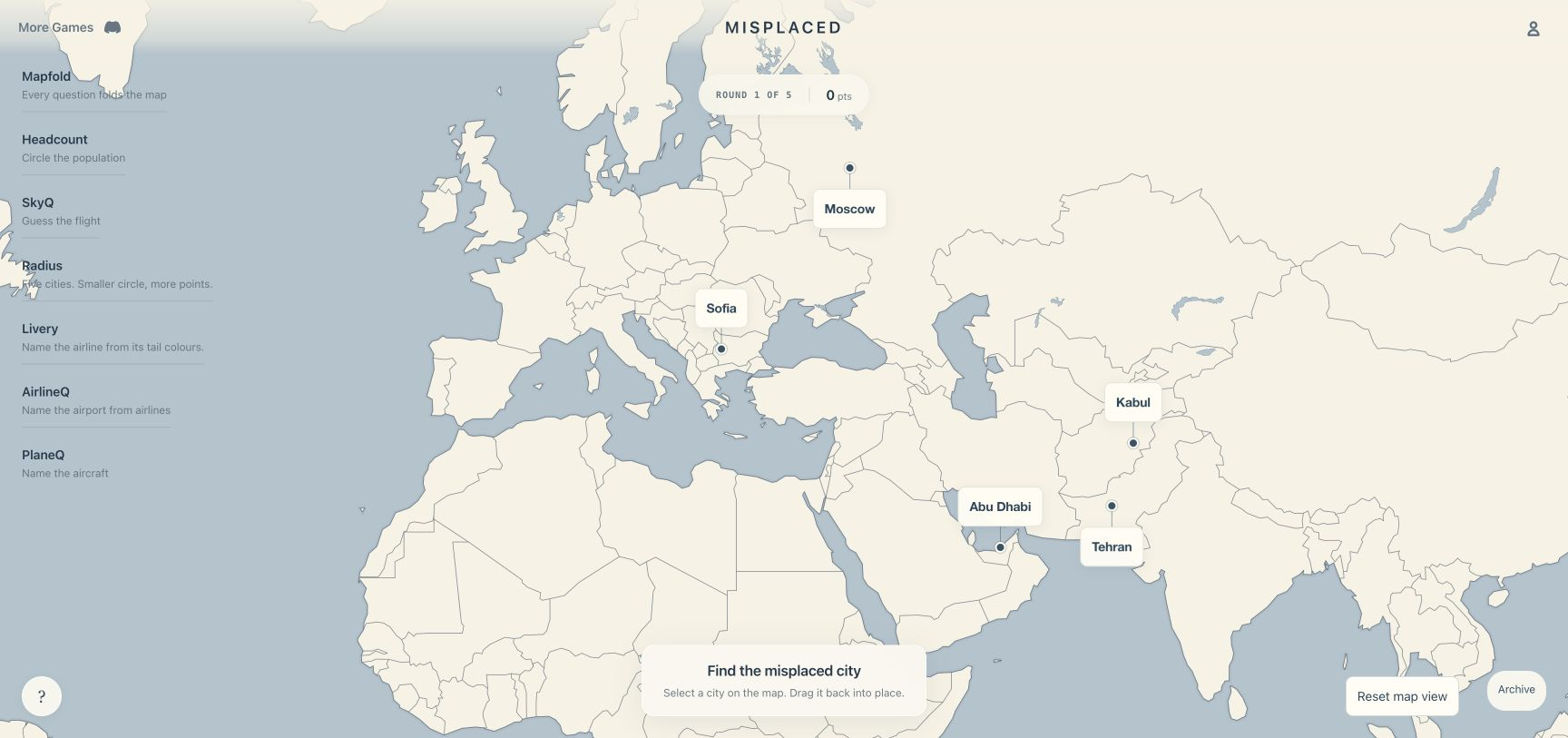
Find the wrongly positioned city pin and move it to the correct location.
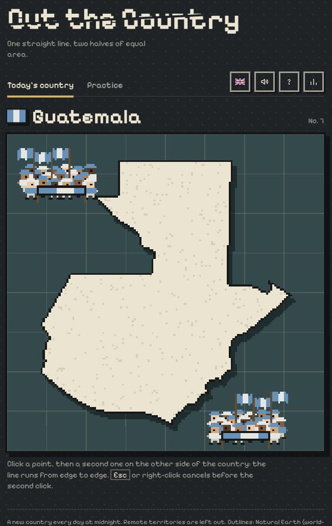
Cut the displayed country silhouette using the puzzle's cutting instructions.

Identify a destination from progressively revealed travel clues.

Use a street-view scene to place a location guess on a world map.
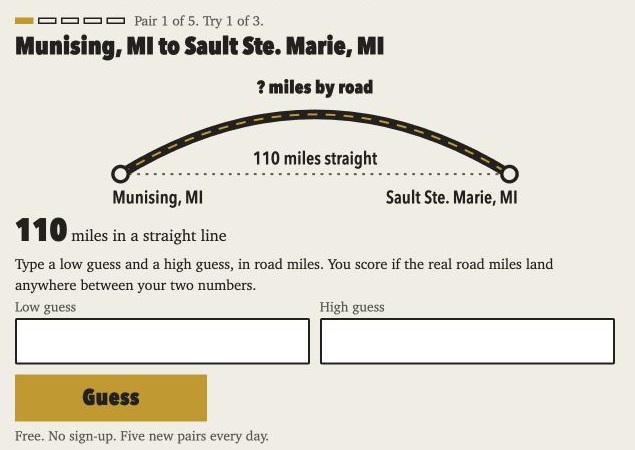
Estimate the road distance between two towns using a straight-line distance as a clue.
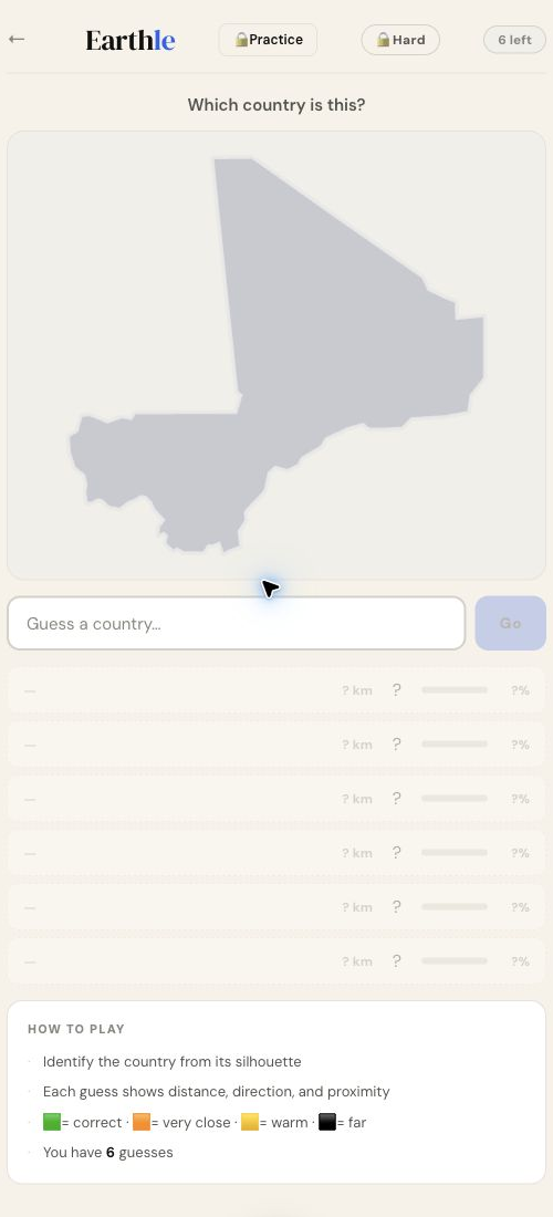
Identify a country from its silhouette and use distance feedback to narrow your guesses.

Identify a city from climate, population and travel clues, with distance and direction feedback.
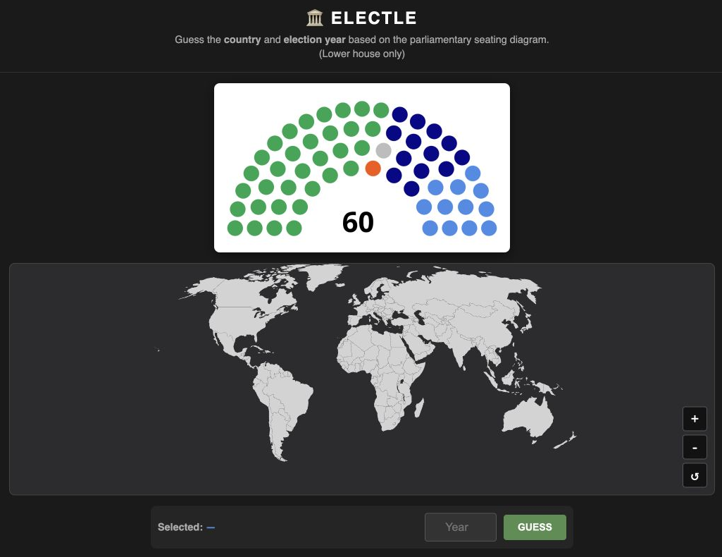
Identify the country and exact election year depicted by the parliamentary lower house seating diagram by selecting a country on the world map and typing the year.
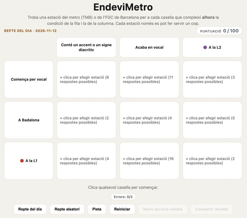
Fill a 3×3 grid by naming Barcelona metro (TMB) and FGC stations that satisfy both the row and column conditions simultaneously — conditions like "on Line L7", "name with ≥10 letters", or "in the Horta-Guinardó district".

Identify a country from its electricity flows, generation mix and time-series charts.

Choose a city using the distance puzzle's two reference cities and midpoint clue.

Rank countries against the geographic statistic in each question.
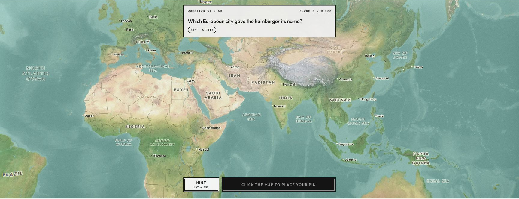
Answer five general-knowledge questions by placing pins on a world map.
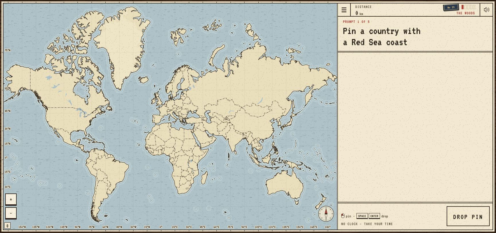
Name countries that fit the prompts, with rarer correct answers taking you farther.
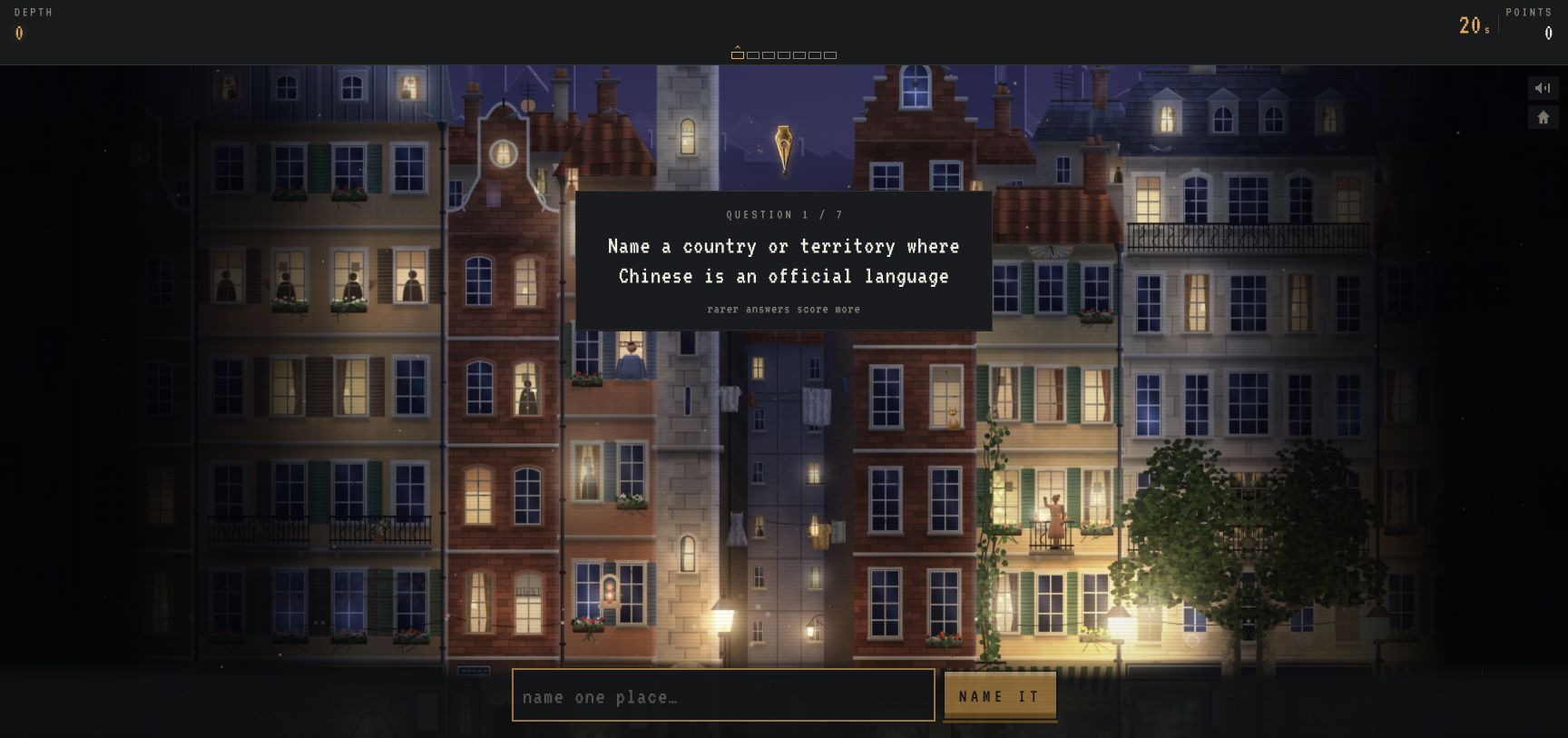
Answer timed geography questions to progress through a depth-scoring challenge.
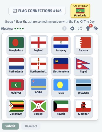
Group 16 flags into sets of 4, where each set shares a different trait with the flag of the day.
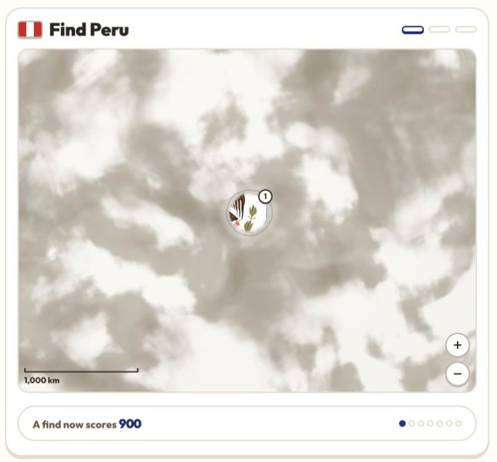
Identify a country by revealing flag clues hidden beneath fog on a globe.

Identify countries from partially revealed flags and geographic feedback.
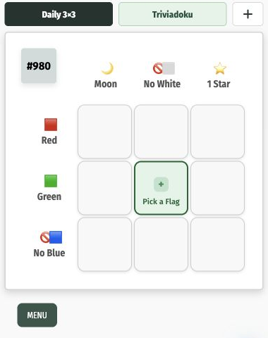
Fill a 3x3 grid with country or territory flags so each one satisfies both its row and column criteria, like a main color, number of words, or language.
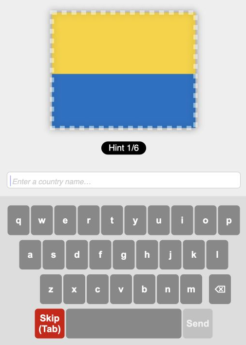
A country has to be named from a fragment of its flag, typed on an on-screen keyboard with the option to skip.

Choose flags that satisfy the intersecting colour and corner requirements of a grid.

Identify a country from a magnified portion of its flag.